Professional Cartography in Cantabria
Table of contents
What is professional cartography and what is it used for?
An essential tool for multiple sectors
Professional cartography involves the collection, analysis and representation of geographic data with the utmost precision. It goes beyond basic maps, providing detailed information theme and technique that is key for sectors such as:
- Urbanism and Territorial Planning: Identifying suitable areas for urban developments and characterizing protected or risk areas.
- Environment: Monitoring ecosystems and assessing environmental impact.
- Agriculture: Optimizing land use and managing water resources.
- Infrastructures: Facilitating the design and construction of infrastructure works: communication routes, distribution networks.
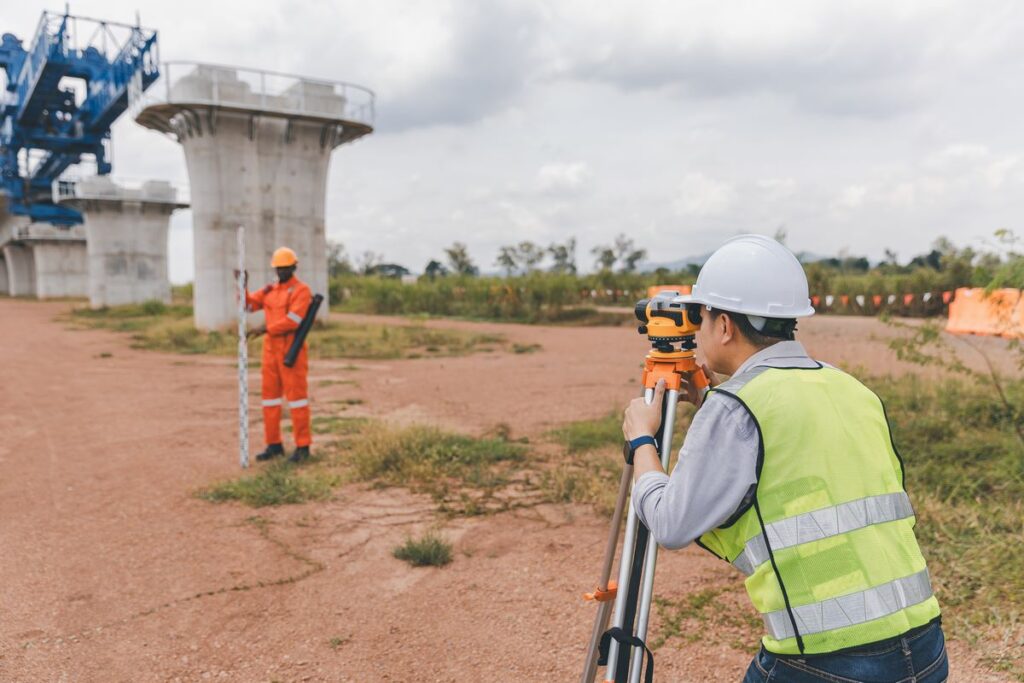

Professional mapping services in Cantabria from ATDigitales
In AT DigitalWe specialize in the creation and analysis of professional maps that meet the highest quality standards. Our services are designed to cover all needs related to cartography in Cantabria.
1. Preparation of topographic maps
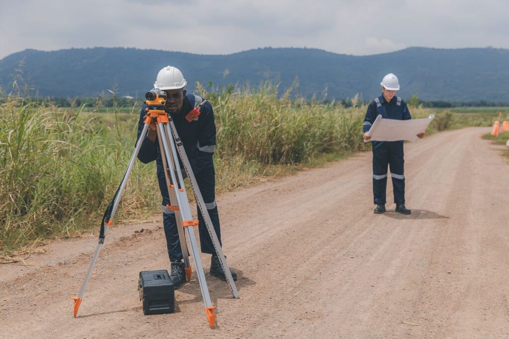
We create detailed representations of terrain, including elevations, slopes and geographic features. They are ideal for construction, urban planning and environmental projects.
2. Thematic cartography
We develop specific maps for different sectors, such as agriculture, tourism, environment or water resource management.
3. Digital Terrain Models (DTM)
We use advanced technology to create three-dimensional models that allow the terrain to be viewed from different perspectives.
4. Georeferencing and GIS analysis
Through Geographic Information Systems (GIS), we process large volumes of geographic data to extract valuable information and perform detailed analysis.
5. Environmental impact studies
Our services include the mapping required to assess the impact of projects on the natural environment and ensure compliance with environmental regulations.
Why trust ATDigitales for your cartographic projects?
In AT DigitalWe are experts in transforming data gross into valuable information that drives the success of your projects. Our combination of experience, technology and commitment positions us as leaders in Professional Cartography in Cantabria.
If you need detailed maps, geographic analysis or any other cartography-related service, we are here to help. Contact us today and find out how we can add value to your projects.
Benefits of choosing ATDigitales for professional cartography in Cantabria
Local experience
With years of work in Cantabria, we know the unique characteristics of the territory and the specific needs of the region.
Cutting-edge technology
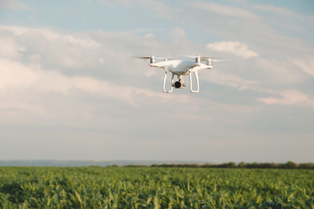
We use advanced tools such as drones, GNSS positioning technology, and CAD, BIM software and GIS, ensuring accurate, high-quality results.
Multidisciplinary team
Our team is made up of specialists in geography, engineering, architecture and the environment, allowing us to approach complex projects from multiple perspectives.
Customized solutions
Every project is unique. We tailor our services to your specific needs, ensuring you receive exactly what you need.
Commitment to sustainability
In AT Digital, we understand the importance of protecting the natural environment. Our projects are designed to minimize environmental impact.
The importance of cartography in Cantabria
A unique and diverse terrain
Cantabria is characterized by its varied geography, which combines mountains, valleys, coasts and rural areas. This diverse landscape requires advanced cartographic tools that accurately reflect its characteristics.
Local regulations and sustainable planning
Professional mapping is also essential to comply with local regulations and ensure that any development or intervention respects the environment and cultural heritage of the region.
Strategic decision making
Whether identifying natural hazards, planning infrastructure or managing resources, accurate mapping data enables informed decisions.
Frequently Asked Questions
- Our
- FAQ
Everything You Need To Know
