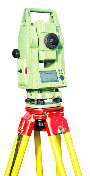
We offer advanced mapping solutions, essential for land use planning, environmental management and strategic decision making. Our services include:
Preparation of topographic maps.
Thematic cartography for specific sectors.
Digital terrain models (DTM).
Georeferencing and analysis with Geographic Information Systems (GIS).
Environmental impact studies.
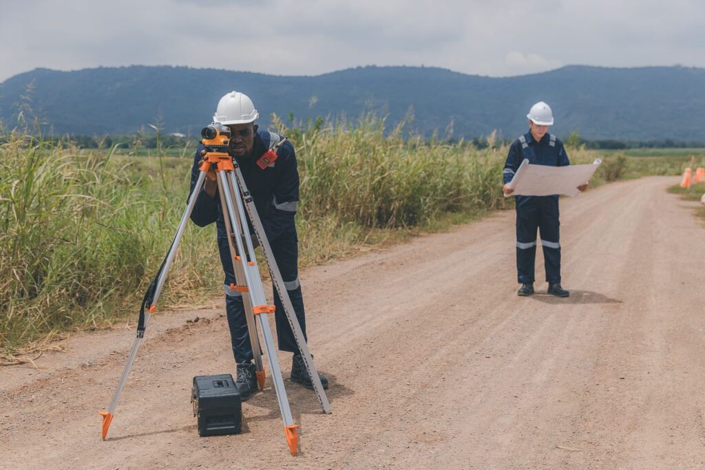
Topographic Services in Cantabria
Specialists in land measurement and representation for construction, urban planning and land management projects. We offer:
Precision topographic surveys.
Delimitation and division of land.
Georeferencing studies.
Creation of digital terrain models.
Technical and legal advice.
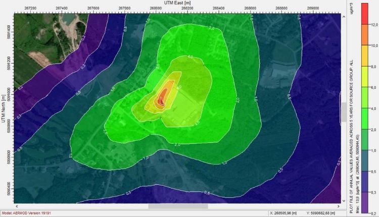
Environmental Consulting in Cantabria
We facilitate compliance with environmental regulations, resource optimization and impact reduction in projects in various sectors. Our services include:
Environmental impact studies.
Implementation of environmental management systems (EMS) under international standards.
We use cookies to ensure that we give you the best experience on our website. If you continue to use this site we will assume that you are happy with it.